

Augmented Reality
Don’t imagine what your project will look like
Let us show you
Augmented Reality (AR) is essential to anyone working on a complicated project with geospatial dimensions. At MVC Services, we have partnered with TrueView to develop an exceptional AR application that is specifically designed for use in the Australian landscape.
Our AR service creates dynamic, mixed-reality visual impact assessments that provide a more comprehensive understanding of each project. This enables clients, stakeholders and all parties involved to make informed decisions faster and more efficiently.
Our AR visualisation tools provide naturally realistic, real-time views of proposed projects throughout the project life-cycle – from scoping, design review and feasibility assessment, all the way to planning and engagement. The visualisation output is fully mobile and user friendly, making it easy to communicate visual impacts to landholders, stakeholders and the wider community.

Our AR services include:
On-Site Visualisation
A collaborative Augmented Reality experience. We can visit your site and share your project with stakeholders. We hold the iPad up and showcase your proposed development in the real world.
Photomontage
Still visualisations for printing and submission. A photomontage is a set of static images that visualises the development – we can deliver these as either PDF documents or JPEG files. You can provide the images or one of our photographers can visit the site and capture this for you.
Videomontage
Moving video to show the impact of the project. We offer viewpoint, drone or sequential videomontages. For viewpoints, we can create a videomontage showing the way the project will interact with the environment. Using a drone, we can record video footage of the project and then add in the new development. Following a route through development, we can show the sequential effects of a project
Custom 3D Modelling
We have a standard 3D model repository. If a different model is required for your project, we can create detailed 3D representations. These models can then be used in on-site visualisations, photo and video montages.
Applications of Augmented Reality

Wind Projects
- Real-time visualisation of turbine layouts, hub heights and blade lengths and rotations at varying wind speeds
- Generation of photomontages and wireframes
- Enable stakeholders to view a dynamic model from any aspect or viewpoint
Grid Connections
- Optimise route and corridor selection
- Visualise screening options by terrain and natural and built environments
- Community, tenure and constraints analysis
- Route and site selection.
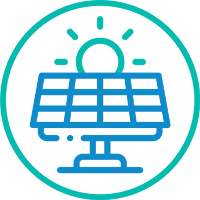
Solar Projects
- Visualise concept layouts
- Assess landscaping effectiveness
- Conduct effective community liaison
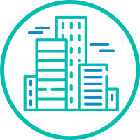
Buildings and Facilities
- View varying designs and layouts on site and remotely
- Create visualisations of urban and rural developments
- Conduct on-site impact assessments